Isn’t it a pain when you’re trying to stay on the trail during a hike, but somehow, you always end up taking a wrong turn or two? That’s actually not unusual. In fact, nearly 9 out of 10 fellow hikers concur that having a reliable digital sidekick is crucial for truly connecting with Mother Nature without losing our way.
This write-up brings together an assortment of top-rated hiking apps and high-tech tools that promise to elevate your outdoor adventures from good to unforgettable. So are you ready to lace up those boots and conquer those trails? Join me as we delve into the world of technology designed especially for us nature enthusiasts!
Key Takeaways
- Hiking apps like AllTrails, Avenza Maps, Spyglass, Accurate Altimeter, Seek, Cairn, SAS Survival Guide Lite, First Aid: American Red Cross, SkyView Lite and onX Backcountry GPS offer features that enhance the hiking experience.
- Common features of hiking apps include GPS tracking for navigation, detailed maps for trail exploration and offline use to avoid signal issues.
- Other important features include trail logging to track progress, fitness tracking for monitoring activity levels and safety features like emergency assistance.
- Utilizing these hiking apps and tech tools can greatly enhance your outdoor adventures by making finding trails easier and keeping you safe on the trails.
Overview of Hiking Apps
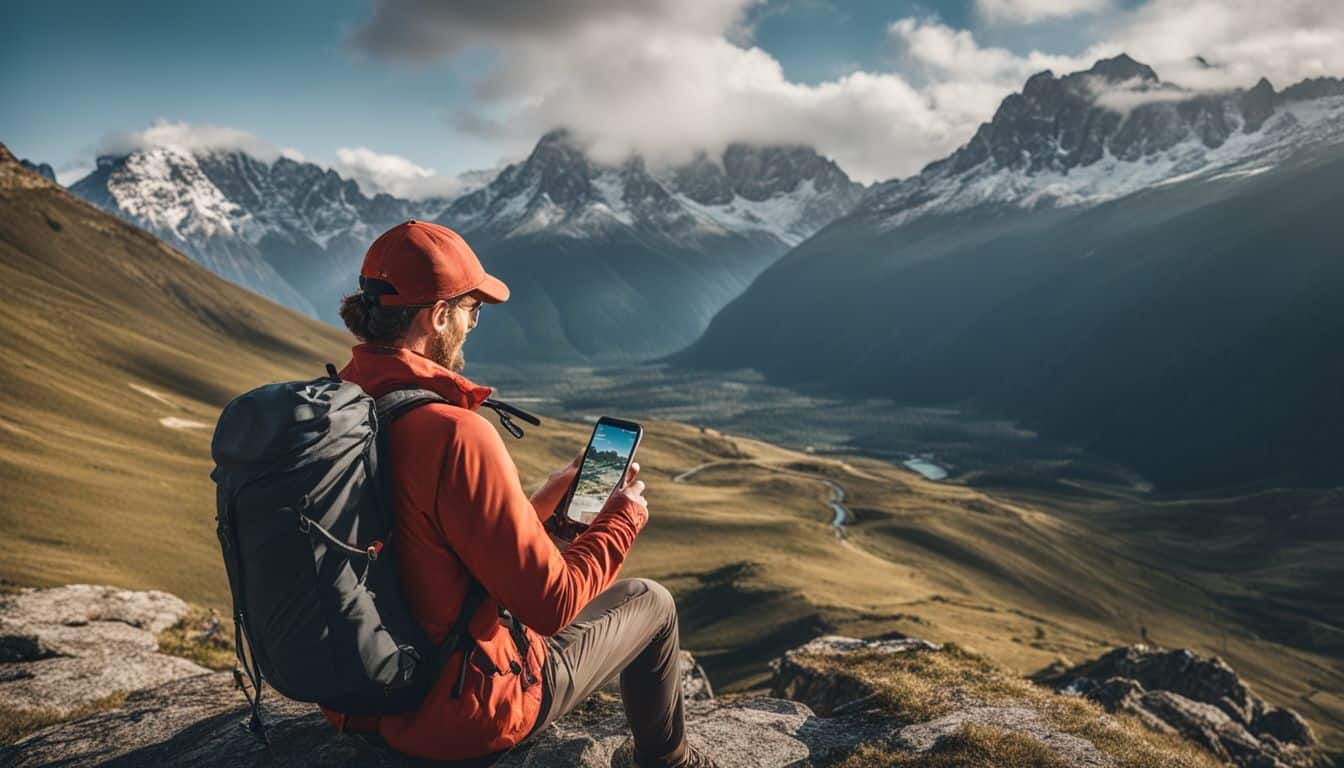
Hiking apps like AllTrails, Avenza Maps, Spyglass, Accurate Altimeter, and Seek offer a range of features to enhance the hiking experience.
AllTrails
AllTrails is a top pick for hikers. It helps you plan your path on more than 400,000 trails! It offers GPS navigation so you don’t get lost. You also get to see the best hiking spots near you.
Want to know what other people think about a trail? Check out their reviews and photos on AllTrails. If you like, you can download trail maps for offline use as well. This app gives good ideas for your next hike too!
Avenza Maps
Avenza Maps is a tool I use often. It has the biggest map collection in the world. You can download these maps to use when you don’t have an internet connection. This feature helps me stay on track during my outdoor adventures.
Small companies and nonprofits have the chance to share their own maps with Avenza app users. I like this because it means we can all help each other find new places to explore. Plus, Avenza Maps works great on both Android and iOS devices, so everyone can use it!
Spyglass
Spyglass is like a magic tool for hikers. It’s more than just a hiking app or map tool. If you have an iPhone, iPad, Android phone or tablet, Spyglass can help you find new trails.
You will also learn about the top hikes near your area with reviews and how hard they are. The best part? It turns your device into many different useful tools! With Spyglass, all these cool features are right at your fingertips!
Accurate Altimeter
Accurate Altimeter is a helpful app for hikers like us. It’s an Android app that accurately tells us our current altitude while hiking. We don’t even need an internet connection for it to work, which is great! The app offers three different methods for estimating altitude, so we can choose the one that works best for us.
If you have an Android phone, you can download Accurate Altimeter from the Google Play Store. Many hikers believe it’s the best altimeter app available for Android devices.
Seek
Seek is an amazing app for nature enthusiasts like us who love to explore the outdoors. With Seek, you can use your phone’s camera and artificial intelligence to identify different plants and animals in real-time.
It’s like having a personal wildlife expert right in your pocket! The best part is that when you spot something interesting, you can track your sightings and contribute to a global database of biodiversity.
Seek also provides valuable information about the habitats, behaviors, and conservation status of the plants and animals you find. Plus, it’s completely free to download on both iOS and Android devices.
Cairn
Cairn is a hiking safety app that I highly recommend. It’s perfect for planning and exploring outdoor adventures. With Cairn, you can easily share your trip plans with others, ensuring that someone knows where you are going in case of an emergency.
One of the best features of Cairn is its information on cell phone coverage in the wilderness. This way, you can plan your hikes or backpacking trips accordingly and know when to expect limited or no signal.
Another great aspect of Cairn is its ability to download offline topo maps. This means that even if you don’t have cell service, you can still access detailed maps and navigate your trails with ease.
Additionally, Cairn offers GPS tracking, allowing you to record your hiking routes and keep track of where you’ve been. All in all, Cairn is a must-have app for any hiking enthusiast looking for safety and navigation assistance during their wilderness explorations.
SAS Survival Guide Lite
The SAS Survival Guide Lite is a free app that offers basic survival information for campers, hikers, and outdoor adventurers like us. It’s based on the million-copy bestselling book and provides essential tips for wilderness survival.
This app is available on both Google Play and the App Store, so we can easily access it on our smartphones. It’s a great tool to have in our pocket when we’re out exploring nature and need some guidance on camping essentials and basic survival skills.
First Aid: American Red Cross
The First Aid app by the American Red Cross is a valuable tool for hikers. It provides step-by-step instructions, videos, and safety tips for handling emergencies on the trail. With this app, you can easily access expert advice for common medical situations that may arise during your hike.
The app has received positive reviews and is considered useful for patients, family members, and physicians alike. You can find it on both the App Store and Google Play.
SkyView Lite
SkyView Lite is an amazing hiking app that lets you explore the night sky during your outdoor adventures. With this app, you can easily identify planets, stars, and constellations in the nighttime sky.
It’s available for both iOS and Android devices, so no matter what kind of phone you have, you can use SkyView Lite to enhance your stargazing experience. The best part is that it’s free! You can use it offline too, which makes it even more convenient for hikers like us.
So next time you’re out on a hike and want to do some celestial exploration, don’t forget to bring SkyView Lite along with you!
onX Backcountry GPS
onX Backcountry GPS is an outdoor navigation app designed specifically for hiking, backpacking, backcountry skiing, and splitboarding. It provides detailed trail maps and descriptions for a variety of hiking trails, backpacking routes, backcountry ski tours, and snowshoe adventures.
With this app, you can easily navigate through the wilderness even in areas with limited cell service.
One of the great features of onX Backcountry GPS is its offline GPS navigation capability. This means that you can still navigate your way even when there’s no internet or cellular connection available.
It’s perfect for those remote areas where you might not have reliable signal.
The app also provides useful statistics about your hike or adventure such as total time on trail, distance traveled, and elevation gain. This information can be helpful for tracking your progress and planning future hikes.
Common Hiking App Features and Tools
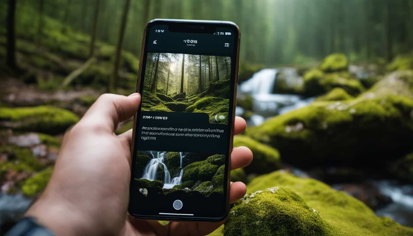
Common hiking app features and tools include GPS tracking for accurate navigation, detailed maps for trail exploration, offline use to avoid signal issues, trail logging to track progress, fitness tracking for monitoring activity levels, and safety features such as emergency assistance.
Discover how these tools can enhance your hiking experience by reading more.
GPS tracking
GPS tracking is an important feature in hiking apps and tools. It allows you to monitor your route, distance, and elevation gain while hiking. With GPS navigation and tracking, you can easily find your way back to the trailhead if you happen to get lost.
These apps also provide information like speed and highest points along the trail. Gaia GPS is one popular app that offers these tracking features, similar to AllTrails. So whether you’re exploring new trails or just want to keep track of your progress, GPS tracking will help ensure a safe and enjoyable hiking experience.
Detailed maps
Detailed maps are an essential feature in hiking apps and tech tools. They provide valuable information about your hiking route, including distance, elevation gain, and landmarks. With these maps, you can easily plan your hike and navigate through unfamiliar terrain.
They also highlight geographical markers and points of interest, helping you discover new trails and explore the outdoors with confidence. Some popular hiking apps for digital mapping in 2023 include Topo GPS, Outdooractive, FATMAP, Gaia GPS, Hiiker, MapOut, Memory-map, and OS Maps.
So whether you’re a beginner or an experienced hiker, detailed maps on these apps will make your outdoor adventures more enjoyable and safer.
Offline use
Offline use is an important feature in hiking apps. It lets you access maps and other information even without internet. This means you can still navigate trails and find your way, even if you’re in a remote location with no signal.
Some hiking apps, like Backcountry Navigator for Android, are specially designed for offline outdoor navigation. They allow you to download maps ahead of time so that you can use them offline while hiking.
Offline maps are also available in some other hiking apps, giving you the option to download trail maps for offline use. So, even when you’re off the grid, these apps ensure that you have access to helpful resources and tools right at your fingertips.
Trail logging
Trail logging is a useful feature found in many hiking apps. With GPS tracking, these apps monitor your route, distance traveled, and elevation gain. They also provide detailed maps to help you navigate the trails more easily.
Some apps even allow you to download offline maps ahead of time, so you don’t need an internet connection while on the trail. Trail logging is just one of the valuable tools these apps offer for hikers like us.
So whether we’re looking for trail maps, navigation assistance, or tracking our progress, these hiking apps have got us covered!
Fitness tracking
Fitness tracking is a really important feature in hiking apps. It helps us keep track of our route, distance, and elevation gain during our hikes. We can also use fitness tracking to monitor our diet, calorie intake, and nutritional information.
For example, the Charge 5 fitness tracker has built-in GPS and an ECG app for monitoring heart health. So with all these great features, we can stay on top of our health and fitness while enjoying the great outdoors!
Safety features
Hiking apps have safety features that can help keep you safe on the trails. These features include emergency assistance, medical triage, and outdoor safety tips. In case of an accident or injury, these apps can provide guidance on how to handle the situation until help arrives.
They also offer information on nearby medical facilities and contact numbers for emergency services. Additionally, some hiking apps have offline navigation capabilities, so even if you lose cellular service, you can still access maps and trail information to ensure your safety.
Remember to always check the coverage of cellular service in your hiking area before relying solely on your app for navigation and emergencies.
Benefits of Using Hiking Apps
Using hiking apps offers several benefits for outdoor enthusiasts. These include easy trail finding and navigation, access to trail information and reviews, safety and emergency assistance, as well as fitness tracking and progress monitoring.
Easy trail finding and navigation
Hiking apps make it easy to find and navigate trails. With built-in GPS tracking, you can monitor your route, distance traveled, and elevation gain. Detailed maps with GPS and compass features help you stay on the right path.
Whether you’re exploring a new trail or trying to reach a specific destination, hiking apps provide the guidance you need. Plus, they offer detailed trail information to keep you safe along the way.
No matter if you have an Android or iOS device, there’s a hiking app that can help enhance your outdoor adventures.
Access to trail information and reviews
Hiking apps give you easy access to all the trail information and reviews you need. Instead of relying on outdated guidebooks or word-of-mouth, these apps provide up-to-date details on hiking trails.
You can find information about the difficulty level, length, elevation gain, and even user reviews to help you decide which trails are right for you. Whether you’re looking for a scenic hike or a challenging adventure, these apps have got you covered with detailed descriptions and pictures of each trail.
So before hitting the trailhead, be sure to check out these hiking apps to get all the information and reviews you need for an amazing outdoor experience.
Safety and emergency assistance
Safety and emergency assistance is a crucial aspect of hiking, and using the right hiking apps can make a big difference. These tools can help you navigate the trails, reduce risks, and manage injuries if something goes wrong.
With features like GPS tracking, detailed maps, and safety alerts, hiking apps provide valuable support in outdoor adventures. They also offer triage capabilities and wayfinding technology to ensure you stay on track and receive help quickly in case of emergencies.
By using the best hiking apps available, you can enhance your outdoor experience while staying safe and prepared for any situation.
Fitness tracking and progress monitoring
Fitness tracking apps are a great tool for hikers like you. They provide helpful features like trail maps, navigation tools, and information about hiking routes and outdoor activities.
But did you know that these apps can also help you keep track of your fitness progress? Studies have shown that using fitness tracking apps and wearable devices can help you meet your fitness and nutrition goals.
They increase adherence to exercise routines, helping you stay on track with your physical activity levels. Plus, some apps even offer personalized goal-setting features to further enhance your motivation.
Best Hiking Apps for Digital Mapping 2023
Discover the top hiking apps for digital mapping in 2023, including Topo GPS, Outdooractive, FATMAP, Gaia GPS, Hiiker, MapOut, Memory-map for all and OS Maps. Find out which app is perfect for your next adventure!
Topo GPS
Topo GPS is an excellent hiking app for digital mapping in 2023. It helps me find and navigate hiking trails with ease. The app provides detailed topographic maps, which are great for route planning and exploring new areas.
One of the best features of Topo GPS is that it allows offline use, so I can still access maps even when I don’t have internet connection. This is perfect for backpacking trips or remote locations where there may not be a signal.
Overall, Topo GPS is a reliable and user-friendly tool for outdoor exploration and trail mapping.
Outdooractive
Outdooractive is one of the best hiking apps for digital mapping in 2023. As a hiking enthusiast, you’ll love this app because it’s designed specifically for outdoor athletes like us.
Whether you’re a hiker, cyclist, mountain biker, or skier, Outdooractive has got you covered. One great feature of this app is the free online route planner that helps you plan your adventures with ease.
And when you hit the trails, Outdooractive provides detailed maps for hiking routes, allowing you to track your route, distance traveled and elevation gain. It’s also worth mentioning that Outdooractive is associated with other top hiking apps in 2023 such as Topo GPS, FATMAP, Gaia GPS and more! So if you want an app that combines digital mapping technology with all the features needed for successful outdoor activities like cycling routes and skiing trails – look no further than Outdooractive!
FATMAP
FATMAP is an awesome hiking app that’s perfect for exploring the outdoors. It’s designed to help you plan your routes and discover new trails, while also connecting with other hikers.
With FATMAP, you can explore mountains confidently with its innovative map features and 3D maps. Whether you’re into skiing, hiking, or biking, this app has got you covered. It’s like having your own personal guide right at your fingertips! Just keep in mind that FATMAP offers a subscription-based service, so there might be a cost involved.
But it’s definitely worth it if you want detailed mapping and a Google Earth alternative for your outdoor adventures.
Gaia GPS
Gaia GPS is one of the best hiking apps for digital mapping in 2023. It provides offline trail maps and GPS tracking, making it perfect for outdoor activities. With Gaia GPS, you can easily search for local trails and use intelligent routing tools to create custom routes.
The app works seamlessly on both mobile and web platforms, giving you flexibility in planning your hikes. Plus, Gaia GPS is optimized for Apple iPhone users, ensuring a smooth experience while using the app on your device.
So whether you’re a beginner or an experienced hiker, Gaia GPS can be a valuable tool to have in your arsenal.
Hiiker
Hiiker is one of the best hiking apps for digital mapping in 2023. It offers a great balance between community features and standalone functionality for map viewing. With Hiiker, you can access free offline maps that will help you navigate hiking trails with ease.
The app also provides thousands of backpacking and hiking adventures, complete with reviews, photos, and recommendations for places to stay. What I really like about Hiiker is that it’s constantly updating its features and maps to enhance the user experience.
If you’re comparing different hiking apps like AllTrails, Hiiker is definitely worth considering for its comprehensive trail information and easy-to-use interface. So whether you’re looking for new trails to explore or want reliable navigation tools on your next outdoor adventure, give Hiiker a try!
MapOut
MapOut is one of the best hiking apps for 2023. It’s a versatile app that offers offline maps, making it perfect for outdoor activities without an internet connection. Whether you’re hiking, biking, or exploring a city, MapOut has you covered.
The app provides detailed maps with features like GPS tracking, route monitoring, distance measurement, and elevation gain information. You can download MapOut on both iOS and Android devices.
So get ready to explore the great outdoors with this handy hiking companion!
Memory-map for all
Memory-Map for All is an outstanding hiking app that stands out in terms of offline mapping. This app has been tested and proven to be the best choice in 2023. With Memory-Map for All, you can enjoy the convenience of digital mapping specifically designed for hikers like me.
One of its standout features is the ability to use offline maps, which is incredibly useful when planning trips and navigating trails without an internet connection. The app also offers topographic maps that are essential for hikers who want detailed terrain information.
What makes this app even better is its user-friendly interface and how it enhances the hiking experience with navigation and GPS tracking capabilities. So if you’re looking for a reliable and efficient hiking app, I highly recommend giving Memory-Map for All a try!
OS Maps
OS Maps is one of the best hiking apps for digital mapping in 2023. It offers road, satellite, and topographic maps that are similar to the Gaia GPS app. The great thing about OS Maps is its accurate mapping and navigation features.
Whether you’re hiking or hillwalking, this app has a range of helpful features specifically designed for outdoor enthusiasts like us. And the best part is that it works on both Android and iOS devices, so we can easily access all these amazing tools no matter what phone we have! Overall, OS Maps is definitely a must-have for anyone looking to explore the outdoors with confidence and ease.
Testing and Reviewed Hiking Apps
We put various hiking apps to the test, evaluating their maps quality, battery consumption, and overall performance. Find out which ones came out on top!
Maps quality
When it comes to hiking apps, one important aspect to consider is the quality of the maps. Detailed maps are essential in helping hikers navigate trails and stay on track. Two popular apps known for their topographic maps are Gaia GPS and Green Tracks, which provide accurate terrain information.
These apps use GPS technology to show your real-time location on the map, making it easier to follow trails and plan routes. It’s also worth noting that some hiking apps offer offline maps, allowing you to access them even without an internet connection.
So when choosing a hiking app, make sure to consider the quality of its maps for a better outdoor navigation experience.
Battery consumption
Battery consumption is an important factor to consider when using hiking apps. During my testing, I found that most of the apps had similar battery usage, except for the A-GPS Tracker app which consumed more power.
To ensure a continuous power supply during hikes, I recommend using a battery pack. This will help you avoid running out of battery and losing access to your hiking app while on the trail.
However, I didn’t gather specific data on battery consumption rates or compare them between different apps. So it’s always a good idea to monitor your device’s battery life and be prepared with backup power sources just in case.
Overall performance and user experience
I tested and reviewed several hiking apps to assess their overall performance and user experience. I looked at factors such as map quality, battery consumption, and how well the apps performed in real-world outdoor situations.
It is important for hikers to have a reliable app that can accurately track their route, provide terrain information, and offer offline navigation capabilities. From my testing, I found that Gaia GPS is highly recommended for its robust features like finding new trails, recording routes, saving hike statistics, and providing weather forecasts.
AllTrails is also a popular choice with millions of users worldwide. These apps can greatly enhance your hiking experience by helping you choose the right trail based on your preferences and skill level.
Expert Opinions on Hiking Apps
Hiking and outdoor experts highly recommend using hiking apps to enhance your hiking experience and ensure safety on the trails. They provide valuable insights, tips, and recommendations for maximizing the use of these apps during your adventures.
Recommendations from hiking and outdoor experts
As an avid hiker, I understand the importance of having reliable hiking apps to enhance your outdoor experience. That’s why I reached out to hiking and outdoor experts who shared their recommendations for the best hiking apps.
These experts have tested various apps and have identified their favorites based on functionality and usability. By following their recommendations, you can ensure that you’re using apps that are trusted by experienced hikers and provide all the necessary features for a successful trek.
So, let’s dive into their top picks and make your next adventure even better!
Tips for maximizing the use of hiking apps
As a hiking enthusiast, I’ve found some helpful tips for getting the most out of hiking apps. First, make sure to download offline maps before heading out on your adventure. This way, you can still access trail information and navigation even in areas without cellular service.
Another tip is to take advantage of GPS tracking features to keep track of your location and progress along the trail. It’s also a good idea to explore the safety features offered by hiking apps, such as emergency assistance or injury management resources.
Lastly, don’t forget to optimize your hiking route using the app’s features like avoiding hazards on the trail or finding the most scenic paths. With these tips in mind, you’ll be able to fully enjoy your hikes while staying safe and well-prepared with the help of hiking apps.
Comprehensive Guide on Best Hiking Apps and Tech Tools
As a hiking enthusiast, you might be wondering which hiking apps and tech tools are the best for your outdoor adventures. Well, look no further because this comprehensive guide will give you all the information you need.
Hiking apps can make your hikes more enjoyable and safer by providing features like GPS tracking, detailed maps, offline use, trail logging, fitness tracking, and safety assistance.
Some of the top hiking apps include AllTrails, Avenza Maps, Spyglass, Accurate Altimeter, Seek, Cairn,SAS Survival Guide Lite , First Aid: American Red Cross,SkyView Lite,onX Backcountry GPS.
These apps offer different features to enhance your hiking experience.
In addition to hiking apps specifically designed for outdoor navigation and trail mapping purposes Topo GPS ,Outdooractive,FATMAP,Gaia GPS Hiiker MapOut Memory-map for all OS Maps have also gained popularity among hikers in 2023.
When planning your hikes using these apps it is important to consider factors such as map quality,battery consumption,and overall performance to ensure a smooth experience on the trails.
It’s always helpful to take into account expert opinions and recommendations from experienced hikers about which hiking app may work best for you.
Remember that technology can be a valuable tool during your hikes but it should not replace basic navigational skills or proper preparation. Make sure to pack essentials like extra batteries or power banks if you plan on relying heavily on these tech tools during longer trips.
So get ready to explore new trails with confidence by using the best hiking apps and tech tools available!
Science-Backed Benefits of Hiking
Hiking has been scientifically proven to provide numerous benefits, including increased immunity, improved mental health, better sleep, and improved physical health.
Increased immunity
Hiking can actually help boost your immune system. When you’re out in nature, breathing fresh air and being active, it can improve the functioning of your immune system. This means that your body becomes better at fighting off illnesses and infections.
Hiking also reduces stress levels, which can have a positive impact on your immune health. So not only is hiking good for physical fitness and mental wellbeing, but it also supports a strong immune system.
It’s like giving your body an extra layer of protection!
Improved mental health
Hiking can do wonders for your mental health. It’s been proven by science! When you spend time outdoors, surrounded by nature, it can reduce stress and anxiety. Being in the natural environment allows you to disconnect from the noise and distractions of everyday life, promoting a sense of calm and relaxation.
Plus, hiking gives you an opportunity to engage in physical exercise, which releases endorphins that boost your mood and energy levels. So if you’re feeling overwhelmed or down, lace up your boots and hit the trails – it’s like therapy for your mind!
Better sleep
Hiking can actually help you sleep better. It’s a great way to improve the quality of your sleep and relieve insomnia. When you engage in regular exercise like hiking, it can help regulate your sleep patterns and make it easier for you to fall asleep at night.
Additionally, spending more time outdoors while hiking increases the production of melatonin, which is a hormone that helps control your sleep-wake cycle. Exposure to daylight during hiking also enhances your sleep quality.
Getting a good night’s sleep is crucial for overall health, and hiking can definitely contribute to achieving that goal. So lace up those hiking boots and hit the trails for not only physical activity but also better sleep!
Improved physical health
Hiking is not only a great way to enjoy the outdoors, but it also comes with several benefits for your physical health. When you hike regularly, you engage in physical activity that can improve your fitness level and overall strength.
It helps to strengthen your muscles, including those in your legs, core, and upper body. Additionally, hiking gets your heart pumping and increases cardiovascular endurance. This can lead to improved heart health and a reduced risk of developing conditions like heart disease.
Furthermore, hiking is a weight-bearing exercise that can help increase bone density and prevent osteoporosis. So lace up those boots and hit the trails – your body will thank you!
Other Tech Tools for Hiking, Backpacking, and Camping
Google Maps is a useful tech tool for providing offline directions, while Google Fit can help with fitness tracking during outdoor activities. Additional tips for using technology during hiking, backpacking, and camping include ensuring devices are fully charged, carrying extra batteries or portable chargers, and protecting electronics from water damage.
Google Maps for offline directions
Google Maps is a great tool for hiking because it offers offline maps for national parks and other outdoor areas. You can download these maps by tapping the ‘download’ button on a park’s Google Maps listing.
This means that even if you don’t have cell service or Wi-Fi, you can still access the maps and navigate your way along the trail. It’s really handy to have this feature, especially when you’re out in nature where there might not be a strong signal.
Plus, Google Maps provides additional helpful features like instant trailside flower guides, birdsong identifiers, celestial charts, and more to enhance your outdoor experience.
Google Fit for fitness tracking
Google Fit is a fitness app that can be really helpful for tracking your activities when you go hiking. It’s available on both Android and iOS devices, so you can easily download it.
With Google Fit, you can track different outdoor activities like running, cycling, hiking, and backpacking. The app uses GPS to monitor your routes and give you real-time data on things like distance, speed, and elevation.
It can also keep track of steps taken, calories burned, and even your heart rate if you have a compatible device. So if you’re looking to keep an eye on your fitness while enjoying the great outdoors, Google Fit is a handy tool to have with you.
Additional tips for using technology during outdoor activities
When using technology during outdoor activities, there are a few additional tips to keep in mind. Firstly, it’s important to prepare your devices before you head out. Make sure they are fully charged and that you have the necessary apps or maps downloaded for offline use.
It’s also a good idea to bring backup power sources, such as portable chargers or extra batteries.
Secondly, consider using multiple sources of information for a better outdoor experience. While hiking apps can be very helpful, it’s always wise to cross-reference with other resources like paper maps or guidebooks.
This way, you can ensure accurate navigation and have access to information even if your technology fails.
Another tip is to invest in communication technologies such as satellite communicators or GPS beacons. These devices allow you to stay connected with others in case of emergencies and provide an extra layer of safety during your outdoor adventures.
Conclusion on Best Hiking Apps And Tech Tools
In conclusion, utilizing hiking apps and tech tools can greatly enhance your outdoor adventures. With features like GPS tracking, detailed maps, and safety assistance, these apps make finding trails and staying safe a breeze.
Additionally, incorporating other tech tools such as Google Maps and Google Fit can further enrich your hiking experience. So go ahead, download these apps and get ready to explore the great outdoors with confidence!
FAQs on Best Hiking Apps And Tech Tools
1. What are some of the best hiking apps and tech tools?
Some popular hiking apps and tech tools include AllTrails, Gaia GPS, Komoot, ViewRanger, and Garmin handheld GPS devices.
2. Can I use these hiking apps and tech tools without an internet connection?
Yes, many of these apps have offline map features that allow you to access trail information without an internet connection.
3. How can these hiking apps and tech tools help with my hike?
These apps and tech tools provide valuable information such as trail maps, difficulty ratings, real-time tracking, weather forecasts, and navigation assistance to enhance your hiking experience.
4. Are there any subscription fees for using these hiking apps?
While some basic features may be free, certain advanced features or premium versions of the app may require a subscription fee. It’s best to check with each specific app for their pricing details.
5. Will using these hiking apps replace traditional navigation methods like a compass or paper maps?
Hiking apps can be used as a supplement to traditional navigation methods but it is still recommended to carry a compass and paper maps as backup in case of technology failures or low battery situations.





Leave a Reply